Lorem Ipsum is simply dummy text of the printing and typesetting industry. Lorem Ipsum has been the industry’s standard dummy text ever since the 1500s, when an unknown printer took a galley of type and scrambled it to make a type specimen book. It has survived not only five centuries, but also the leap into electronic typesetting, remaining essentially unchanged. It was popularised in the 1960s with the release of Letraset sheets containing Lorem Ipsum passages, and more recently with desktop publishing software like Aldus PageMaker including versions of Lorem Ipsum.
Industry Solution
MINING &
EXPLORATION

For more than 30 years Geoimage has provided value added products and services to the mining and exploration sector around the world.
Whether it relates to exploration, operations,
operations, safety, environment, monitoring or compliance, Geoimage can tailor a geospatial solution to best suit client’s needs.
Access to the latest technologies in satellite imagery, remote sensing, software platforms and IOT, enables Geoimage to offer clients powerful and cost effective solutions unique to their business and their particular use cases.
Technology advancements are delivering new and innovative means of solving age old issues for the mining and exploration sector.
Geoimage – applied spatial intelligence
Mining & Exploration – Customised Solutions
Geoimage offers professional and independent advice on the supply and application of commercially available
satellite imagery and spatial datasets for a wide range of applications.
satellite imagery and spatial datasets for a wide range of applications.
UNIQUE REQUEST
Explore Geoimage’s unique request
solutions
solutions
Case Study
Nullam rutrum, nulla a feugiat dictum
Previous
Next
- Client
- AOI
- Product/ Service
- Area Size
Myanmar Mining Client
Myanmar
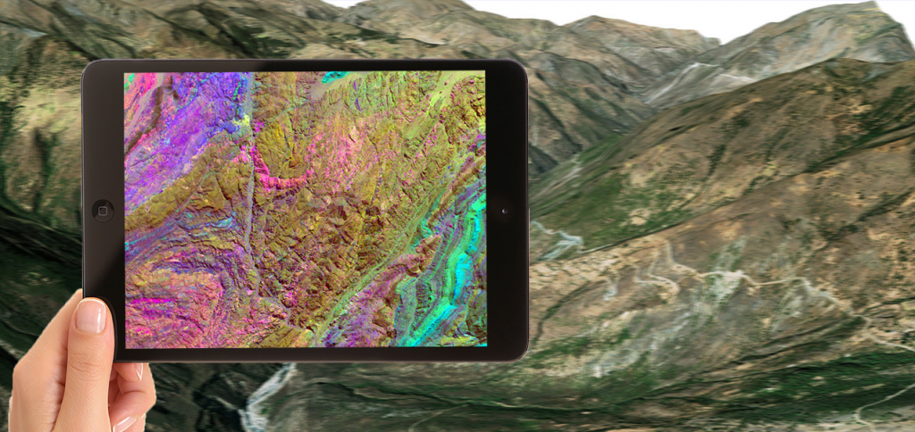
Spectral Suite (SWIR)
1008 skm
Learn More
What we can do
We provide seamlessly mosaiced background imagery
at scales of 1:2,500 to 1,000,000 and broader for even
inaccessible locations.
at scales of 1:2,500 to 1,000,000 and broader for even
inaccessible locations.
Access first-class geospatial data sources
Nullam rutrum, nulla a feugiat dictum, eros arcu euismod.
Ready To Get Started? Get In Touch
Lorem ipsum dolor sit amet, consectetur adipiscing elit. Pellentesque vel eleifend lorem. Proin laoreet erat eros, eu varius odio ultrices or


